Wait!
Grab a FREE Trial of Upper
×
- Plan routes with hundreds of stops in a minute
- Schedule routes months in advance
- Collect reliable proof of delivery
- Track drivers live for real-time updates
- Experience unparalleled customer support
Wait!
Grab a FREE Trial of Upper TODAY!
×
- Plan routes with hundreds of stops in a minute
- Schedule routes in advance for weeks
- Collect proof of delivery to maintain accountability
- Experience 24/7 customer support
- Smart reporting to get real-time insights
Wait!
Grab a FREE Trial of Upper TODAY!
×
- Plan routes with hundreds of stops in a minute
- Schedule routes in advance for weeks
- Collect proof of delivery to maintain accountability
- Experience 24/7 customer support
- Smart reporting to get real-time insights
×
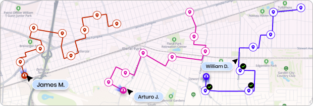
Plan Smarter Routes in Minutes
See how Upper Route Planner helps delivery teams optimize routes, save fuel, and dispatch faster.
Start a Free Trial
No credit card required